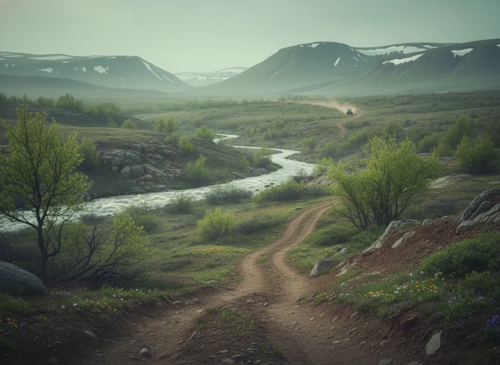
The Jemez Mountains are the remains of a supervolcano caldera that erupted approximately 1.25 million years ago, forming the Valles Caldera, the 13-mile-wide collapsed magma chamber now preserved as Valles Caldera National Preserve at the center of the Jemez range. The Santa Fe National Forest surrounds the caldera on all sides in Sandoval, Rio Arriba, and Los Alamos counties, managing the ponderosa pine and mixed-conifer forest lands that drape the caldera's exterior slopes and provide the primary OHV riding terrain in the Jemez Mountains. The Jemez Ranger District's designated OHV trail system operates in the volcanic terrain of the Jemez: the rhyolite canyon country carved by the Jemez River and its tributaries through the caldera's eroded flanks, the open ponderosa park stands on the lower slopes, and the spruce-fir forest on the higher flanks of the Redondo Peak and the Jemez caldera rim. Jemez Springs is the gateway community, a village of hot springs resorts in the Jemez River canyon at 6,000 feet elevation that provides a full-service base for OHV visitors. The riding is high-desert mountain character, not the sand and scrub of the Rio Grande Valley 30 miles east, but genuine ponderosa pine mountain terrain at 7,000 to 9,000 feet. The volcanic geology produces occasional rhyolite-boulder technical sections on the trail network that give Jemez OHV its distinct texture. ATVs, UTVs, and off-highway motorcycles permitted on designated routes; New Mexico OHV registration required. Jemez Ranger District (575-829-3535) manages trail status and seasonal closures.
Hours
Open year-round on designated routes at lower elevations; upper Jemez Mountain routes close under snow. No day-use fee. New Mexico OHV registration required.
Phone
575-829-3535Trip openings, seasonal updates, and the occasional deal, straight to your inbox.
FAQ
Everything you need to know before you get started.
Have a question, or ready to book? Reach out and we’ll get right back to you.